Urban Pattern-of-Life Analysis
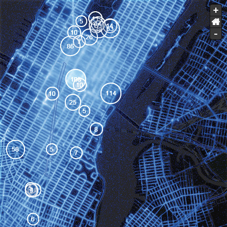
Modern cities are abundant sources of untapped pattern-of-life data that can help urban planners and investors understand land use and build complementary services. In this application, we used SALT to create an interactive multi-resolution map of taxi trip endpoints and openly available social media that reveals how people interact with urban spaces. Taxi traffic patterns and social media paint a picture of land use, cultural hotspots events and tourist activity. Spatial query-by-example tools empower planners to find areas similar to an indicated place of interest and better understand relationships between urban design and cultural behaviors.